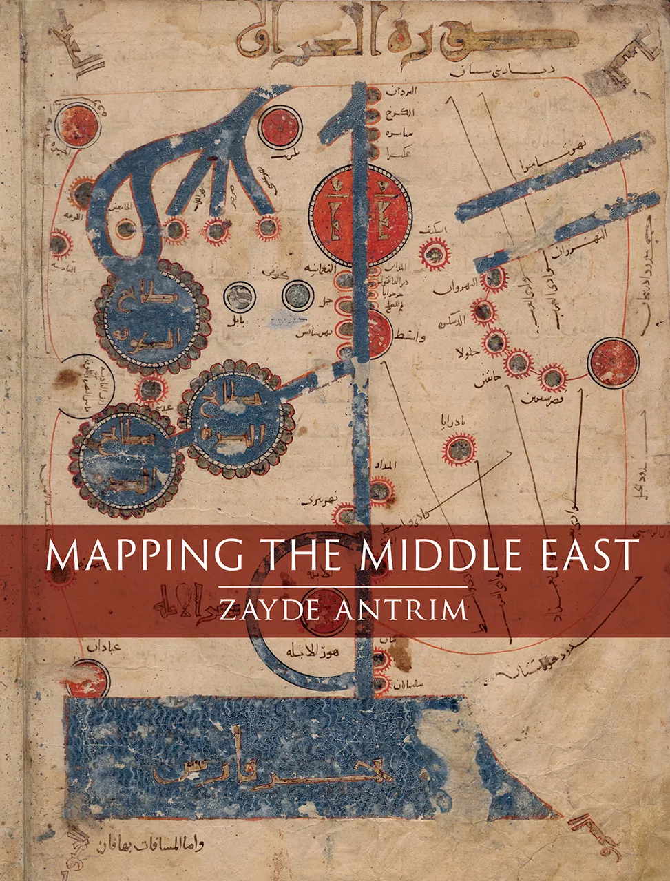
Mapping the Middle East
GRAHAM CHANDLER
Zayde Antrim
2018, Reaktion Books, 978-1-78023-850-0, £35 hb.
The earliest surviving paper maps of the Middle East are found in Arabic manuscripts dating to the 11th century CE. In this analysis of a millennium of cartography of the ever-changing region, Antrim provides welcome insights into the evolving function and meaning of its maps. This detailed and lavishly illustrated volume spans the “realm of Islam” (11th–16th centuries), where maps served more as memory aids than accurate geographical representation: Ottoman mapping traditions; European colonial mapping; and 20th-century national mapping. It shows that from the start—well before the birth of nationalism—citizens imagined land in relation to aspects of belonging. While early Islamic maps bear little resemblance to modern maps, over the centuries people in the Middle East deliberately chose what, how and why to express this sense of “home” via maps. Academic yet highly readable, this book presents the history behind the maps.
You may also be interested in...
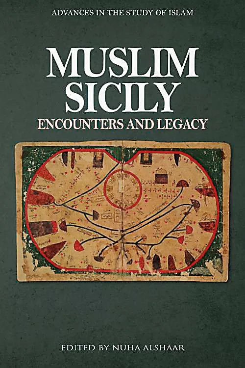
Nuha Alshaar’s Essay Compilation Muslim Sicily—Our Book Review
What emerges from this volume by Nuha Alshaar, a professor of Arabic literature and Islamic studies, is a rounded picture of Sicily as a site of cultural exchange that shaped the medieval Mediterranean.
A History of Mali’s National Drink Traces Green Tea—Book Review
By tracing ritual instead of commerce, anthropologist Ute Röschenthaler shows that the story of tea in West Africa involves multidirectional routes and local agency.