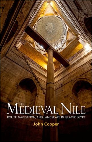
The Medieval Nile: Route, Navigation, and Landscape in Islamic Egypt
Robert W. Lebling
John Cooper
2014, AUC Press, 978-9-77416-614-3, $75, hb.
Viewed from above, the Nile can resemble a long-stemmed lotus or a cobra poised for attack. The rich greens of the riverbanks contrast to the pale tans of the deserts around them, signifying life, activity and growth. From the perspective of boat pilots and sailors, the Nile is an altogether different beast. Today the river is rather docile, but before the Aswan High Dam tamed the Nile in 1964, Egypt experienced an annual flood as waters from heavy spring rains in African highlands swept down the valley en route to the Mediterranean. The author looks at Nile navigation from the boatman’s perspective, focusing on the medieval Islamic period with comparative glimpses of pre-Islamic and early modern periods. Combining ancient documents with tools of modern marine archeology, he shows that in contrast to Orientalist stereotyping the boatmen were marine problem solvers of the first order. He identifies former waterbeds that were part of the Delta network, with its many “mouths” and its inland “seaports” serving the Mediterranean trade.
You may also be interested in...

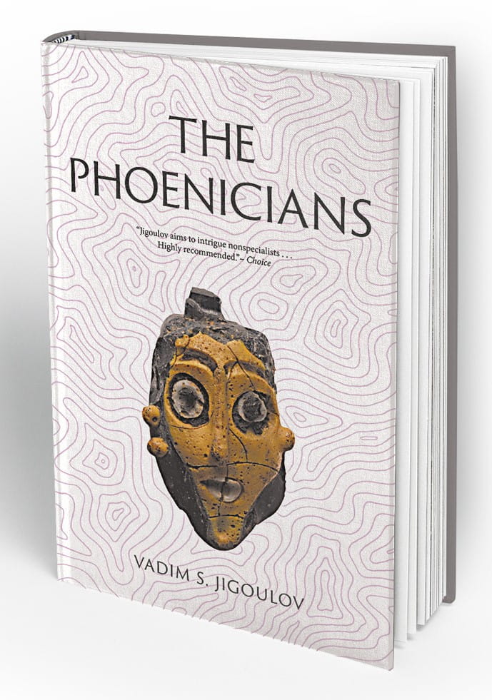
The Phoenicians
Rather than a single civilization, the Phoenicians appear here as a fleet of city-states-Arwad, Byblos, Sidon and Tyre-whose sea routes and trade networks tied the ancient Mediterranean together.
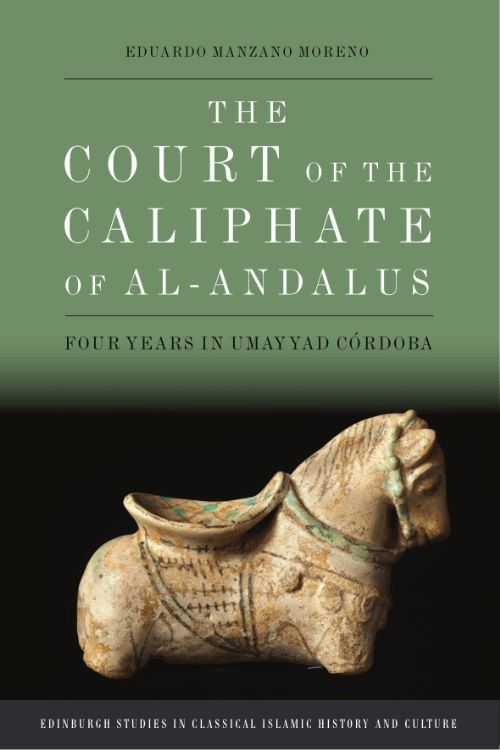
New Perspective Offered in The Court of the Caliphate of al-Andalus — Our Book Review
Author Eduardo Manzano Moreno gives life to a court scribe’s observations of Córdoba to offer a rarely explored view of the era