A History of the World in 12 Maps
Tom Verde
Jerry Brotton
2012, Viking, 978-0-67002-339-4, $40 hb.
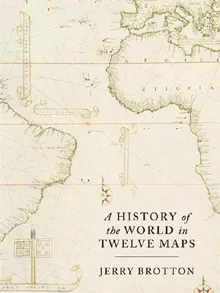
Seven continents. Seven seas. Five ages of man over 2,000 years. Jerry Brotton sums it all up by yoking cartography with historical themes such as faith, empire, nation and tolerance from the second century ce in a dozen era-defining maps. Some are no surprise: those based upon Ptolemy’s Geography, c. 150; Al-Idrisi’s 1154 map of the known Christian-Islamic world; and Mercator’s 1569 projection that rendered the spherical world in a single, flat, contiguous image—a transformative boon to navigation and, ultimately, the standard decor for grade-school classrooms everywhere. Others may be less familiar, such as the Cassini family’s 1793 nation-defining map of France, or a forehead-slappingly obvious: Google Earth. While a universally accepted global map remains beyond our reach for a variety of political and technical reasons, Brotton concludes that without maps, “we can never know the world.”
You may also be interested in...
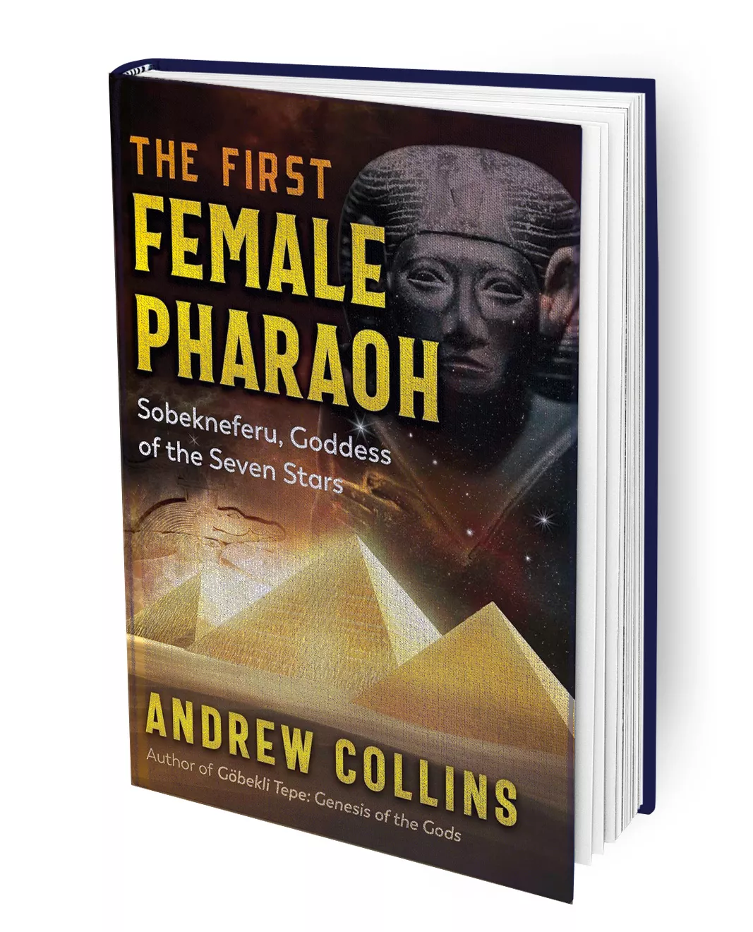
The First Female Pharoah: Sobekneferu, Goddess of the Seven Stars
In The First Female Pharoah: Sobekneferu, Goddess of the Seven Stars, historian Andrew Collins offers a reassessment of Sobekneferu, the first woman to rule both Upper and Lower Egypt—an achievement long obscured by fragmentary evidence and mythmaking.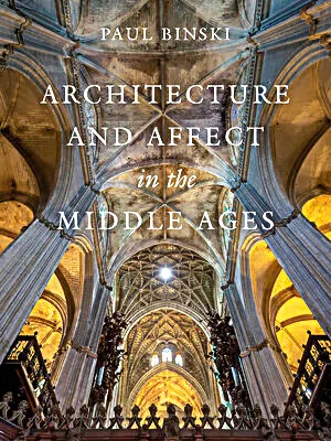
Architecture and Affect in the Middle Ages
From the opening pages, Paul Binski’s Architecture and Affect in the Middle Ages immerses the reader in a dense, multisensory world. It reveals a central claim: Medieval architecture did not merely surround worship; it actively shaped how it was perceived and felt.