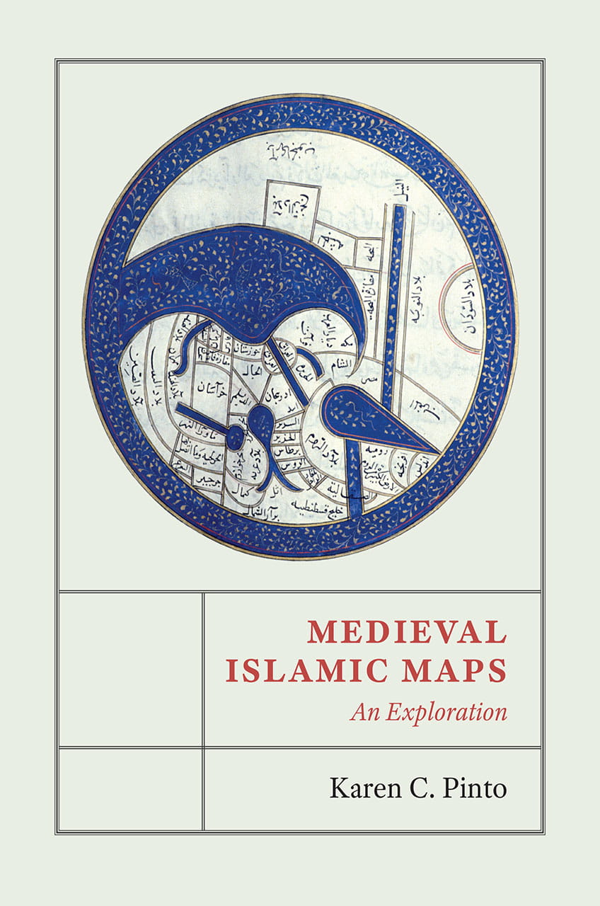
Medieval Islamic Maps: An Exploration
Graham Chandler
Karen C. Pinto
2016, University of Chicago Press, 978-0-22612-696-8. $60 cl.
“These Islamic maps are unique in the way they cross time and space … of the Islamic world,” states the author of this amply illustrated volume. Through the cartographic tradition known as kitab al-masalik wa al-mamalik (Book of Routes and Realms), focusing on iconography, context and patronage, Pinto shows how maps evolved into art objects rather than the guides depicting places, landforms and shorelines as we understand maps today. Many indeed look like abstract art but are actually highly schematic representations designed to make cultural and political sense of territory. She traces the development of Islamic mapping traditions alongside the cosmographic and cartographic descriptions of the cultures, including Hindu, Buddhist and Jain, that influenced those styles. She also points out intriguing mysteries—such as the relatively obscure Beja tribe of eastern Africa, found on every map. This volume explores maps as gateways into Islamic history offering insights that can be appreciated by both scholars and general readers.
You may also be interested in...
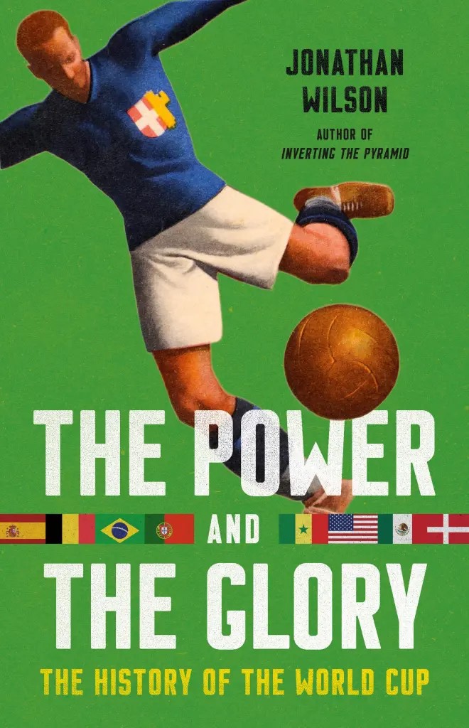
In The Power and the Glory, Football Reinvents Nations—Our Book Review
Jonathan Wilson traces the World Cup’s evolution to global theater where nations negotiate identity, memory and power.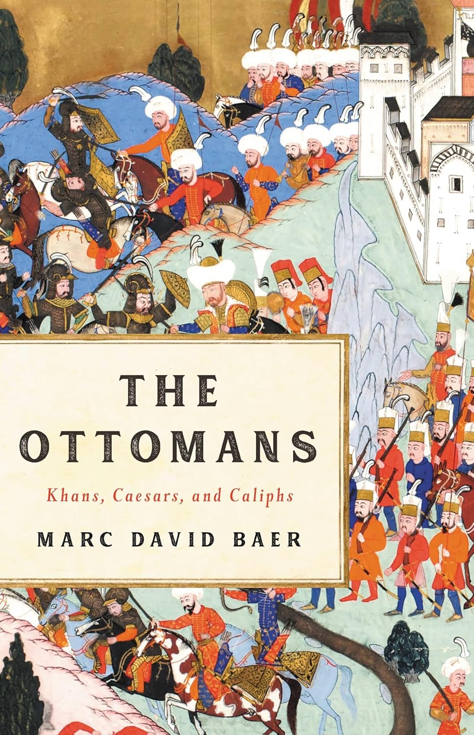
Ottoman Origins, European Echoes
A bold reframing of how Ottoman governance shaped European ideals before Europe claimed them.