A History of the World in 12 Maps
Tom Verde
Jerry Brotton
2012, Viking, 978-0-67002-339-4, $40 hb.
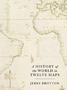
Seven continents. Seven seas. Five ages of man over 2,000 years. Jerry Brotton sums it all up by yoking cartography with historical themes such as faith, empire, nation and tolerance from the second century ce in a dozen era-defining maps. Some are no surprise: those based upon Ptolemy’s Geography, c. 150; Al-Idrisi’s 1154 map of the known Christian-Islamic world; and Mercator’s 1569 projection that rendered the spherical world in a single, flat, contiguous image—a transformative boon to navigation and, ultimately, the standard decor for grade-school classrooms everywhere. Others may be less familiar, such as the Cassini family’s 1793 nation-defining map of France, or a forehead-slappingly obvious: Google Earth. While a universally accepted global map remains beyond our reach for a variety of political and technical reasons, Brotton concludes that without maps, “we can never know the world.”
You may also be interested in...

Essays Unpack the Evolving Hajj and Umrah Experience
This volume of essays juxtaposes historical first-hand narratives of Hajj and Umrah journeys with oral interviews of contemporary pilgrims to show the transformative power of storytelling.
A Century of African Art, in 300 Voices, All in One Book
From Cairo to Khartoum to Casablanca, this volume traces how African artists have shaped—and reshaped—modern art over the past century.