Medieval Islamic Maps: An Exploration
Graham Chandler
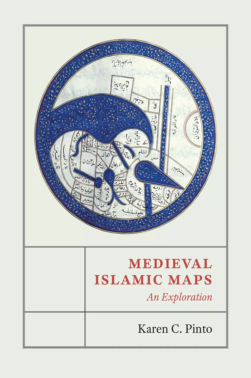
Karen C. Pinto
2016, University of Chicago Press, 978-0-22612-696-8. $60 cl.
“These Islamic maps are unique in the way they cross time and space … of the Islamic world,” states the author of this amply illustrated volume. Through the cartographic tradition known as kitab al-masalik wa al-mamalik (Book of Routes and Realms), focusing on iconography, context and patronage, Pinto shows how maps evolved into art objects rather than the guides depicting places, landforms and shorelines as we understand maps today. Many indeed look like abstract art but are actually highly schematic representations designed to make cultural and political sense of territory. She traces the development of Islamic mapping traditions alongside the cosmographic and cartographic descriptions of the cultures, including Hindu, Buddhist and Jain, that influenced those styles. She also points out intriguing mysteries—such as the relatively obscure Beja tribe of eastern Africa, found on every map. This volume explores maps as gateways into Islamic history offering insights that can be appreciated by both scholars and general readers.
You may also be interested in...
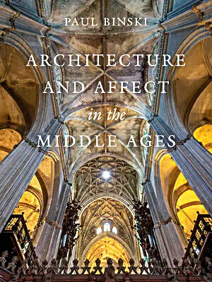
Architecture and Affect in the Middle Ages—Our Book Review
Author Paul Binski takes readers on a multisensory tour of medieval cathedrals across Europe.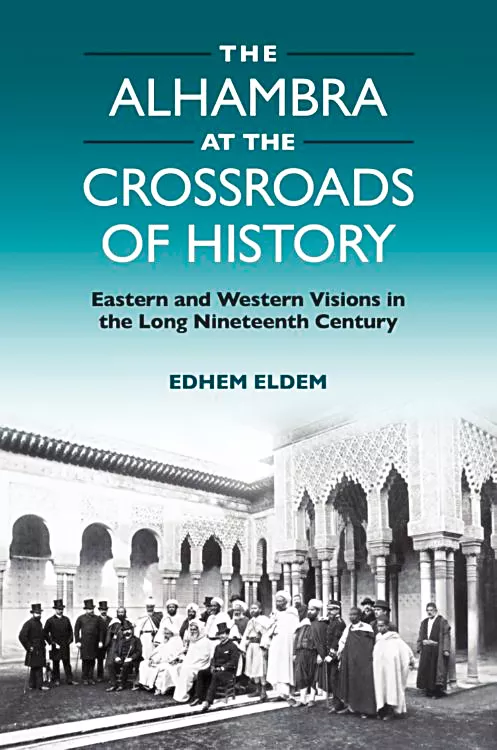
The Alhambra at the Crossroads of History—Our Book Review
The Alhambra at the Crossroads of History shows how the 13th-century Andalusi palace complex in Granada, modern Spain, generates often conflicting meanings at the same time—meanings actively constructed and sometimes misread. Edhem Eldem, an Istanbul-based history professor, traces its role in shaping social and cultural identities across imperial Europe, Arab North Africa and Ottoman Türkiye from the 18th to the early 20th centuries.