Constructing Maps from Texts Using Symbols to Represent Human Features
Subject:
Geography
Region:
East Africa
When you know a place well, how do you convey to others what it's really like?
For students: We hope this guide sharpens your reading skills and deepens your understanding.
For teachers: We encourage reproduction and adaptation of these ideas, freely and without further permission from AramcoWorld, by teachers at any level.
Common Core Standards met in this lesson: RI.9-10.1, RI9-10.2, RH9-10.5 (see details below).
—The Editors
Do you have comments? I'd be pleased to hear from you at [email protected].
—Julie Weiss
To Know A Place: "Khartoum, A Tale of Two Rivers"
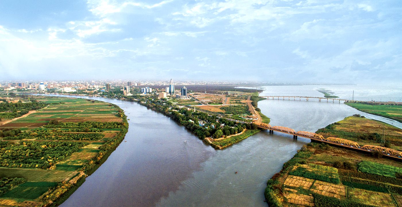
When you know a place well, how do you convey to others what it's really like? That's what writer Louis Werner and photographer David Degner did in their story about Khartoum. With words and images, they have created a profile of this complex city. In the activities that follow, you will learn about Khartoum by exploring what they say and show about the city. You'll also step back and examine how they chose to tell the story, how they constructed their rendering of the city. By the time you finish these activities, you will be able to:
- Identify different parts of Khartoum, and the individuals and institutions that writer Louis Werner has chosen to represent them.
- Create a map of Khartoum that shows what different parts of the city are like.
- Analyze how writer Louis Werner conveys a sense Khartoum.
Using Maps and Photos to See a City
"Khartoum: A Tale of Two Rivers" presents a city using a variety of tools by the writer and photographer create a portrait of Khartoum. A map shows one view. What can you learn from it? Make a map for the class of Khartoum on a large piece of butcher paper or several sheets of chart paper. Make sure the map is big enough to put information into different areas. For now, look at the map and label its different elements. As a class, answer the question, "What does this map tell us about Khartoum?" Make a list of your answers and then use a different color to make hypotheses based on the map. For example, you might hypothesize that since there separate parts of Khartoum, each with its own name, the three parts, at least in some noticeable ways, different from each other.
What about photos? What can they tell you about Khartoum? Photocopy or print out the photos that accompany the article. Put each photo in the area of the map where it belongs. According to its caption, for example, the Chinese locomotive is at the Khartoum Bahri train station, so put the photo in the Bahri section of your map. You can determine where to place the photos by using the captions and written text of the article to find out where each belong. When you're done, discuss as a class what the photos add to what you know of Khartoum based on the map.
How to Know a City
Now you've gotten a clear sense of what maps and photos can tell you about Khartoum. But maps and photos can only go so far. Alone, can they really help you know the heart of the place? How can a magazine article give a reader a real sense of what Khartoum is like?
Let's see how Louis Werner did it. Follow the article as it "visits" each of the three cities-within-the-city of Khartoum. At each location, gather the following information from the article and write it at that location.
- History: Write a phrase that summarizes the area's history, such as "the sof Ottoman leadership."
- The Institution: Make a sign for the institution (e.g., a university) that Werner chose to focus for each geographic area. Below the sign, make a bulleted list of two or three key points about the institution.
- The Person/People: Put the names of the people in the photos you already placed in each area. Below the photos make another bulleted list to identify two or three important pieces of information about the people.
Divide the class into three groups, assigning each group one of the geographic areas to focus on. With your group, study everything you've posted on the map of your region of Khartoum. What central ideas emerge about your area? Put another way, what do you think the author is trying to tell you? Have a spokesperson for each group share with the rest of the class the theme his or her group identified. When you put all three groups together, what can you say about Khartoum?
Reflection
As you've done these activities, you've been looking at two layers of meaning. The first layer is information about Khartoum: its history, its institutions, its people. The second is more about how a writer (or anyone, really) goes about telling others about a city. For this second layer, you observed how the writer, photographer and editors chose to create a story of Khartoum. What did they choose to focus on in order to give readers a deep sense of the city? Hint: Look at each step of the lesson that you just completed. Together, they create an outline of how to represent a city.
Follow Up
Try a similar exercise closer to home. Post a map of your town or a neighborhood within your city. Relying on the same criteria the article used, make a visual similar to what you did for Khartoum. Decide on your own what institution you would use to represent the area, and who would be someone whose life would show something about the place? What photos would you include, and why those? Share final projects with the rest of the class.
Common Core Standards met in this lesson:
RI9-10.1 Cite strong and thorough textual evidence to support analysis of what the text says explicitly as well as inferences drawn from the text.
RI9-10.2 Determine a central idea of a text and analyze its development over the course of the text, including how it emerges and is shaped and refined by specific details; provide an objective summary of the text.
W9-10.1 Analyze how a text uses structure to emphasize key points or advance an explanation or analysis.
Other lessons

Cairo Across America: Interpreting Geography, History and the Meaning of a Name
Geography
History
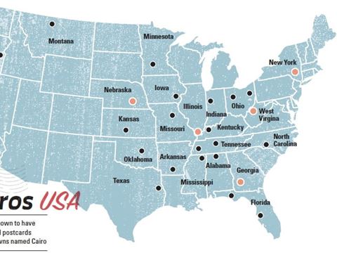
Uncover how towns named Cairo turned ancient inspiration into uniquely American stories of aspiration, identity, and change..jpg?cx=0.5&cy=0.5&cw=480&ch=360)
Teaching Science? Start With a History Lesson
For the Teacher's Desk
Including historical findings can help students understand how science advances—one step at a time, often with a bit of help from serendipity.
How Art Connects
For the Teacher's Desk
Art links everything—cultures, history, even math. Want to hook students? Try teaching through the art that surrounds us with these stories.